How does live mountain identification work?
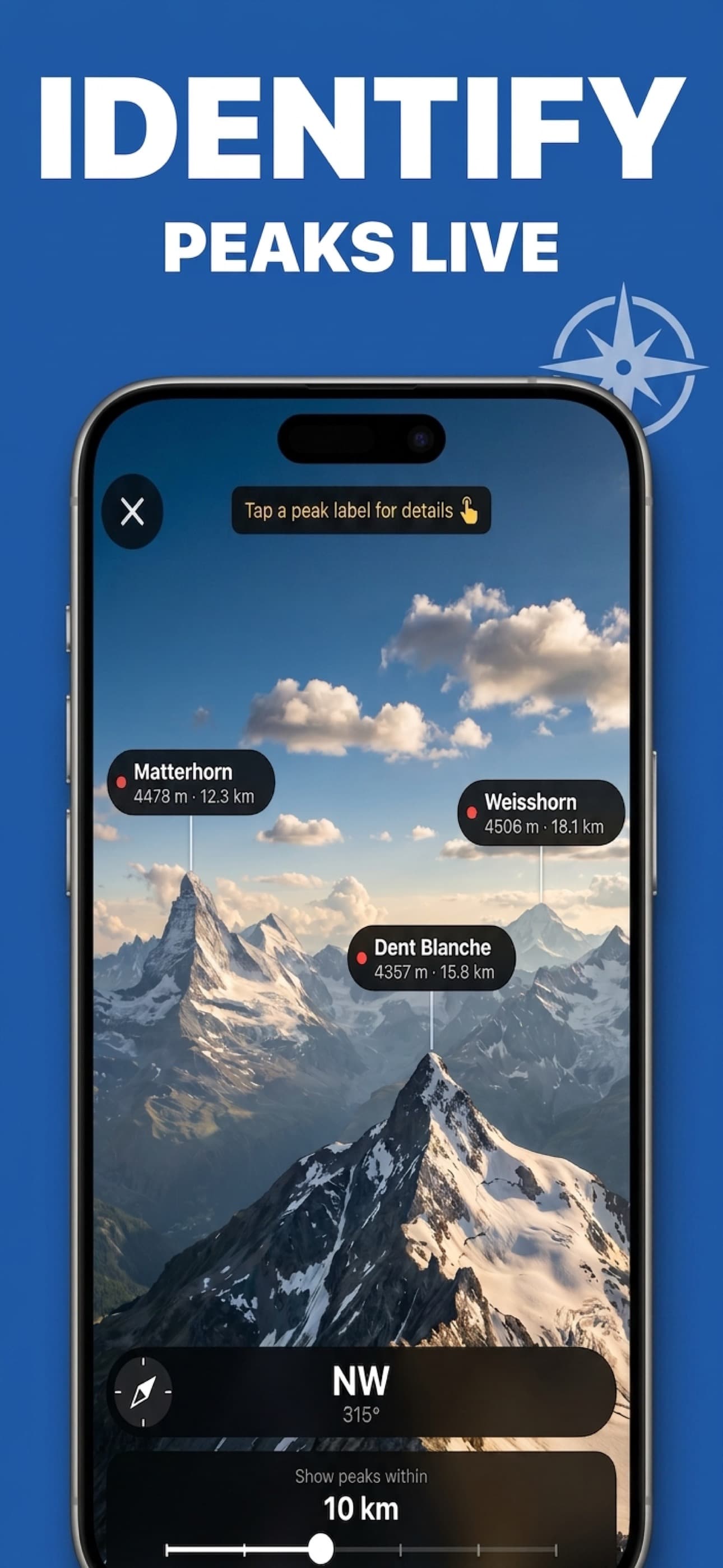
Look Around mode uses your location, compass direction, and nearby peak data to label mountains in the camera view with details such as name, elevation, and distance.
Point your camera at the horizon and see peaks labeled live — or snap a photo and get instant AI identification with elevation, climbing routes, and safety details. Track every summit you've climbed, planned, or wishlisted.
From live AR labels in the field to detailed peak research at home, Peak Identifier covers every step of your mountain adventure.
Point your camera at the horizon to see nearby peaks labeled with details such as name, elevation, and distance. No photo is required.
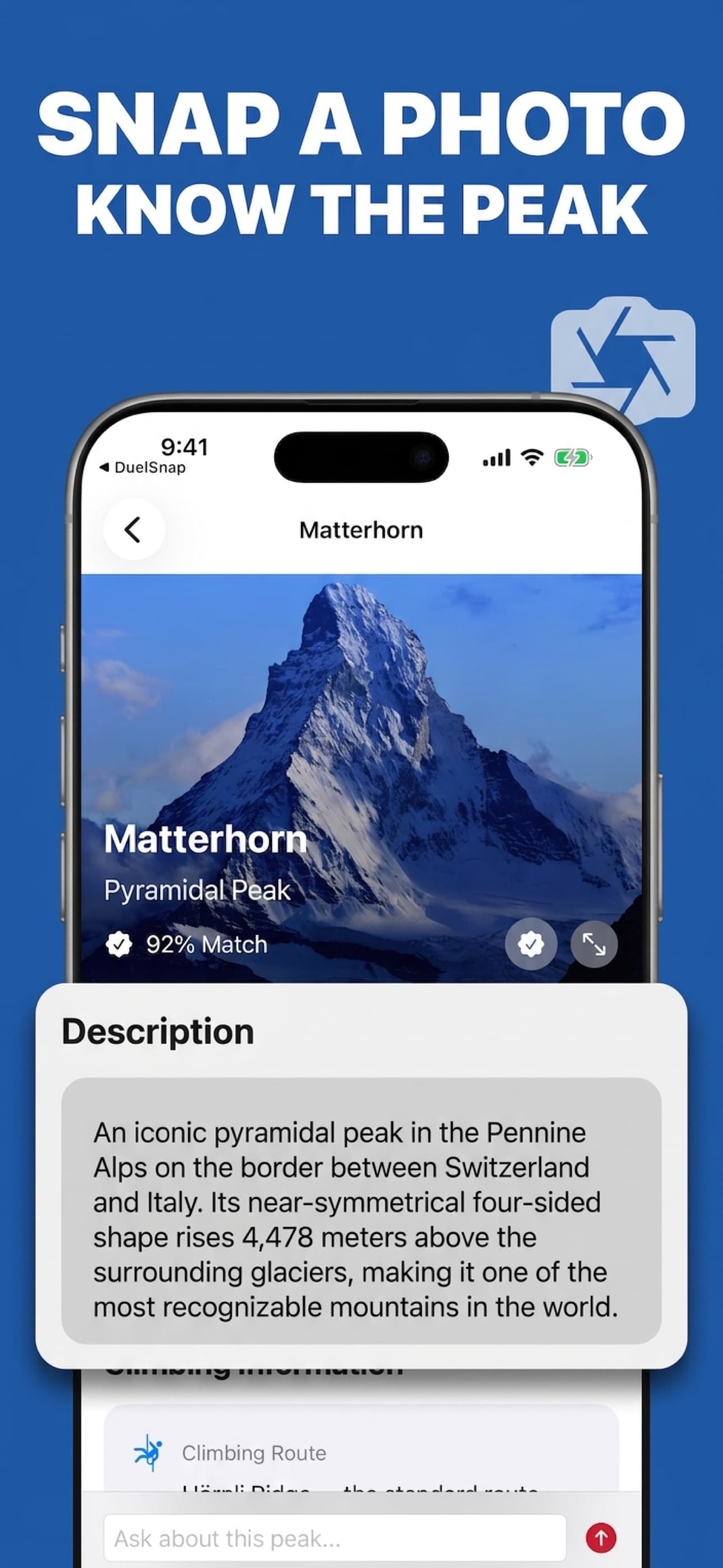
Take up to four photos of a mountain and review an AI-generated identification with name, elevation, prominence, rock type, and more.
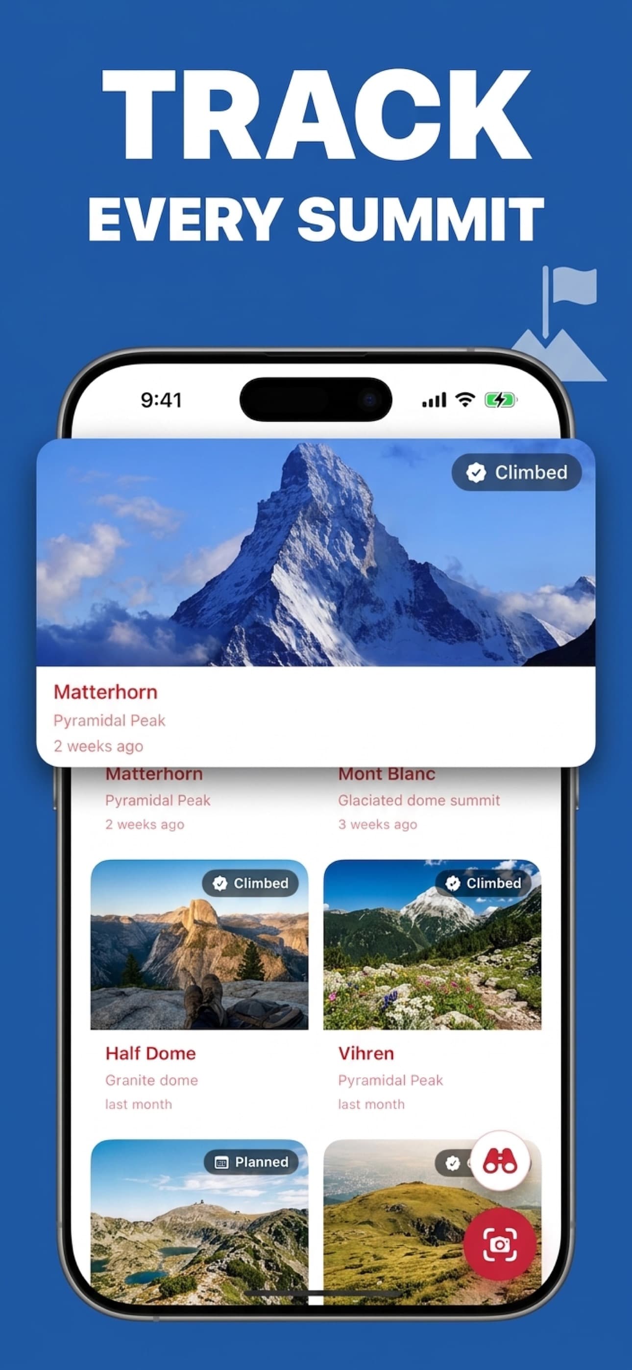
Mark peaks as Climbed, Planned, or Wishlist. Build a personal mountain log that syncs across all your devices via iCloud.
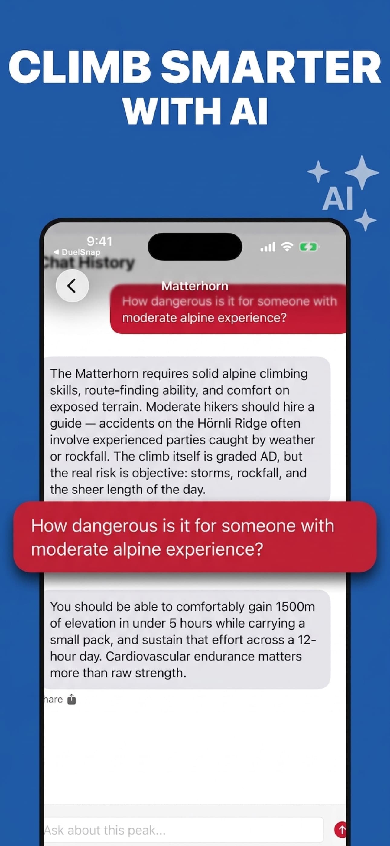
Ask follow-up questions about routes, gear, seasonal considerations, or geology. Treat the AI response as a starting point and verify safety information.
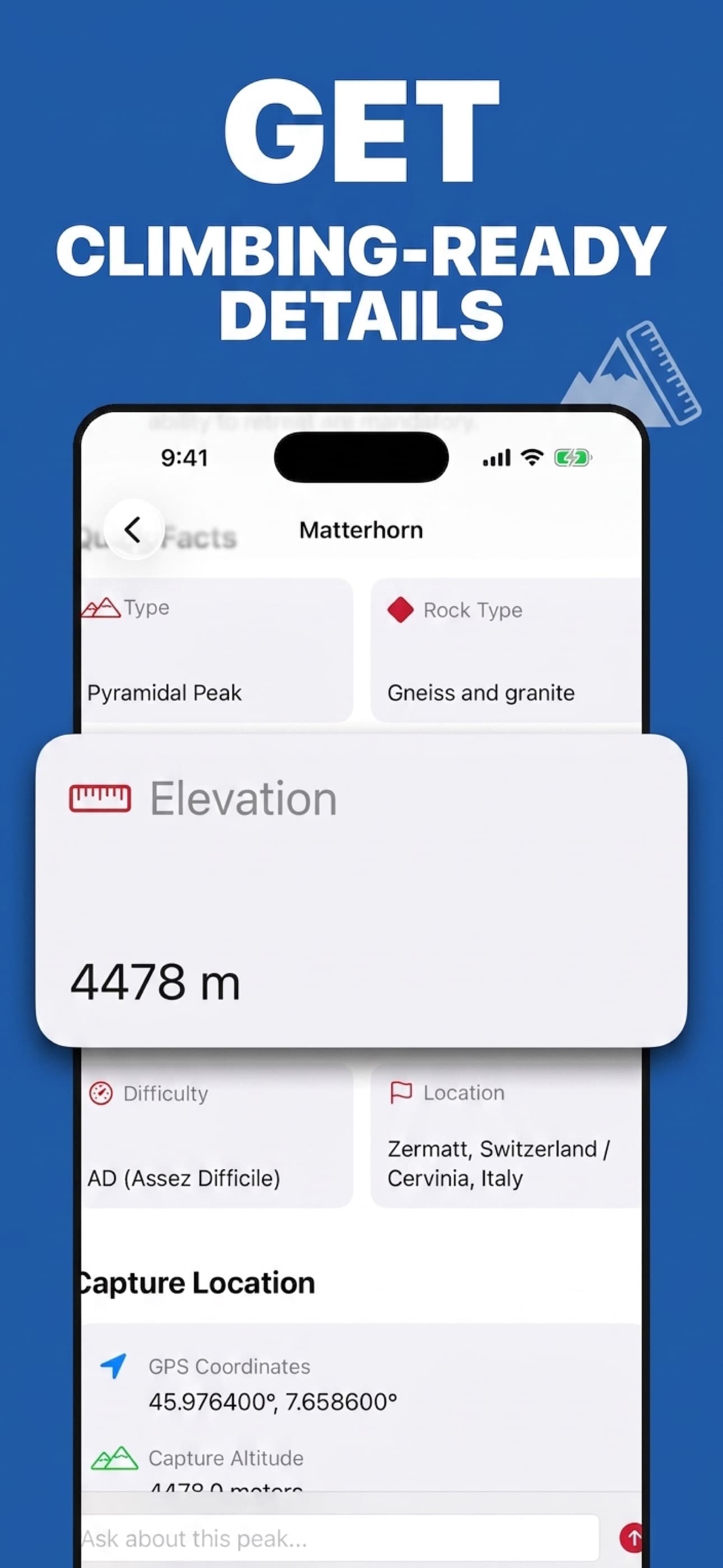
Difficulty grade, standard route, best season, required equipment, first ascent history, and safety considerations — all in one place.
Photos are processed securely and not retained on our servers. Your peak collection lives in your personal iCloud, not ours.
From live AR overlays to detailed peak guides — here's what Peak Identifier looks like in your hands.
Choose the mode that fits your moment — instant AR in the field, or a deep-dive identification at home.
Open the camera in Look Around mode for live AR labels, or take a single photo to identify a specific peak you've framed.
AR mode uses your GPS, compass, and OpenStreetMap data to label nearby peaks. Photo mode uses AI with optional location context to narrow the likely match.
Save the peak to your collection, mark it Climbed/Planned/Wishlist, and ask the AI anything you want to know before you go.
Answers about live identification, photo mode, offline access, and mountain safety.
Look Around mode uses your location, compass direction, and nearby peak data to label mountains in the camera view with details such as name, elevation, and distance.
Yes. Photo mode can analyze up to four views of a mountain. Location is optional, but geographic context can help narrow the possible peaks.
Peakr can show elevation, prominence, geology, route and difficulty information, first-ascent history, and safety considerations. Verify routes and current conditions with authoritative local sources before a trip.
Saved peaks are stored locally, so you can review your collection offline. Identification, live data, AI chat, and iCloud sync may require a network connection.
No. Peakr is a reference and trip-planning aid. Do not rely on AI-generated information as your only navigation, route, weather, avalanche, or safety source.
Identify nearby peaks, save the mountains that matter to you, and research useful details before your next trip.
Download for iOSFree to download on the iOS App Store.